
Farming has always looked to the sky for guidance: for rain, for sunshine, for the quiet signals of changing seasons. Today, the sky is offering something new. Satellites, once the domain of space exploration and weather forecasts, are now quietly transforming the way we grow our food.
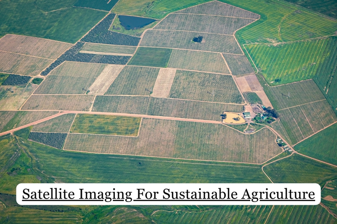
As the world seeks smarter and more sustainable ways to feed its population, agriculture is undergoing a quiet revolution. More and more, farmers and researchers get satellite images for agricultural use to monitor crops, assess field health, and make better decisions. This shift toward seeing the land from space is not just about innovation, but about cultivating a deeper connection with the earth through smarter, more responsible practices.
For all its importance, traditional farming has come at a cost. In many regions, the overuse of water, fertilizers, and pesticides has left deep marks on the land. What once promised abundance now threatens balance, as fields are pushed beyond their natural limits to meet ever-growing demands.
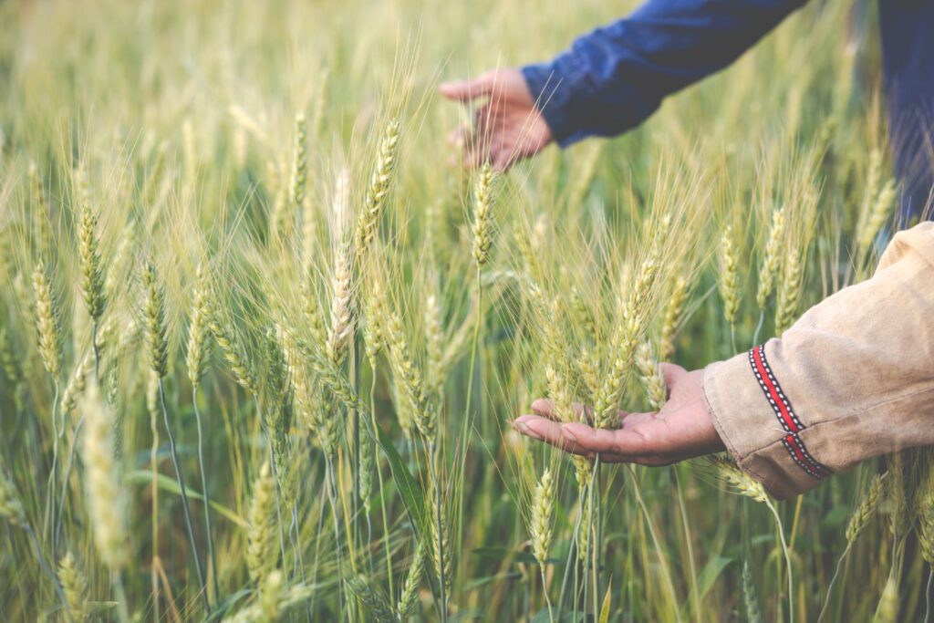
Runoff from chemical inputs pollutes nearby rivers and groundwater, while intensive tilling practices wear down the very foundation of agriculture: the soil. Over time, nutrients are stripped away, erosion takes hold, and the ground becomes less capable of supporting healthy crops. This gradual decline often goes unnoticed until yields drop, costs rise, and recovery becomes harder than prevention.
Without a clear view of what’s happening beneath our feet and across entire landscapes, it becomes easy to repeat harmful patterns. But acknowledging the toll is the first step toward changing course. And this is where new tools, including those orbiting far above, begin to offer a way forward.
From hundreds of kilometers above Earth, satellites are quietly reshaping how we grow food. By capturing detailed, consistent views of farmland, satellite imaging in agriculture allows producers to monitor crop conditions, identify problem areas, and make data-driven decisions — all without stepping into the field. This not only saves time and labor but also helps reduce unnecessary inputs like water, fertilizer, and pesticides.
Instead of relying on routine spraying or guesswork, farmers can apply treatments precisely where and when they’re needed. This targeted approach lowers costs and limits environmental impact, preserving both soil and surrounding ecosystems.
EOSDA Crop Monitoring brings these capabilities into everyday use, offering practical access to insights that support long-term sustainability goals. From crop growth stages to vegetation indices and beyond, the platform helps farmers act with greater precision while supporting long-term sustainability goals.
The benefits extend beyond efficiency. With satellite imagery for agriculture, patterns of plant stress, drought risk, or nutrient deficiency can be spotted early, often before they’re visible to the naked eye. This proactive view enables farmers to prevent issues, not just react to them.
The use of satellite imagery in agriculture is bringing a new level of precision to the way we manage resources. What once depended on intuition and scattered field checks is now supported by continuous, wide-scale data that shows exactly what crops need and when and where they need it. This shift is transforming agriculture from a reactive process into a proactive and strategic one.
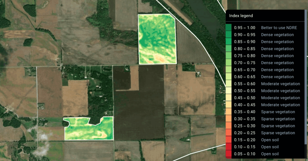
Water and fertilizer efficiency is one of the most immediate and measurable benefits. With multispectral and thermal imagery, farmers can identify areas suffering from water stress or detect zones where nutrient absorption is lacking. Instead of treating an entire field the same way, they can target specific sections, applying just the right amount of input at the right time. This not only conserves valuable resources but also improves yield quality and consistency. In regions facing drought or water scarcity, such precision isn’t just a benefit. It’s essential.
Satellite imagery also enhances crop health management. Subtle variations in plant vigor and canopy color, often invisible from ground level, can indicate early signs of disease, pests, or environmental stress. By catching these signals early, farmers have a better chance of taking corrective actions before damage becomes widespread. This reduces dependence on heavy chemical interventions and supports a more balanced ecosystem on and around the farm.
Another major advantage is the reduction of waste and runoff. Over-application of fertilizers or irrigation not only increases costs but can also pollute nearby rivers and groundwater. Satellite-based monitoring helps prevent this by ensuring inputs are used precisely and sparingly. The impact is twofold: better environmental outcomes and improved compliance with sustainability standards and regulations.
Perhaps the most transformative effect lies in data-driven decision making. Over time, satellite imagery creates a historical archive of each field’s performance, helping farmers uncover long-term trends, assess the effectiveness of their practices, and adjust strategies with confidence. These insights build resilience, allowing producers to adapt to shifting weather patterns, market demands, and environmental conditions.
As agriculture evolves, the future of cultivation is increasingly guided by what we see from above. The rise of satellite data for agriculture is helping farmers move toward more sustainable, efficient practices by offering a clearer understanding of their land in real time.
With improved visibility, producers can manage water and fertilizers more precisely, reduce chemical use, and respond faster to threats like drought or disease. These insights are not just about boosting yields but rather about building a food system that works in harmony with nature.
Looking ahead, advances in satellite resolution, speed, and integration with AI will make smart farming even more accessible. As technology continues to evolve, it’s becoming clear: sustainability in agriculture starts with seeing the bigger picture, which can be seen only from above.
Don't let aphids, slugs, and caterpillars ruin another plant. Take back control with simple, natural methods that actually work.